Accessibility Resource Center
Disability is Diversity, Access is Inclusion
Through collaboration and camaraderie, we create an environment where everyone belongs. Together we turn challenges into opportunities and transform uncertainty into success.
Mission
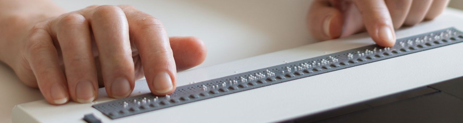
The UWM Accessibility Resource Center (ARC) collaborates with students, faculty and staff to create an equitable and an inclusive campus. We promote and facilitate awareness and access through training, partnerships, innovative programs, and accommodations to ensure disabled students experience every avenue of college life, and have written about our history in Telling Our Stories: A History of Diversity at the University of Wisconsin-Milwaukee, 1956-2022.
We also align with the Association on Higher Education and Disability (AHEAD) concept of disability informed by social justice and with the AHEAD statement on language. Specifically, ARC is adopting and encouraging the use of identity-first language across all communication, information, and materials.
